Clevedon, a walkable Village.
Clevedon is on the cusp of significant growth, with the population set to expand from approx 700 to 4,000 residents. Currently, footpaths and trails are sparse and disconnected, but as land is subdivided and developed around the periphery of this rural settlement, 17km network of walking, cycling and bridle trails will be constructed.
These trails will support non-vehicular movement around our village, enabling our residents to walk and cycle between home, the village centre, school, community facilities and for recreation.
Most of the proposed network of trails will be delivered by developers. There are however a number of important trail connections that won’t be delivered by developers and for which no other funding is currently available.
The Franklin Paths and Trails Targeted Rate would capture two such trails: A connection between Clevedon Scenic Reserve and the Clevedon North Tataia Stream trail and the McNicol Road Trail (Clevedon-Kawakawa Road to Tourist Rd - where it will connect to a trail being built by Stevensons along the southern section of McNicol Road).
To view the entire network of proposed trails required to be built by developers around Clevedon, visit clevedon.co.nz/trails
Clevedon Scenic Reserve Connection
Clevedon Scenic Reserve to Clevedon North Trail Connecter.
Suitable for walkers, runners, cyclists and dog walkers this trail connection will link the developer-delivered trail in Clevedon North to the trails of Clevedon Scenic Reserve, enabling a northern village loop.


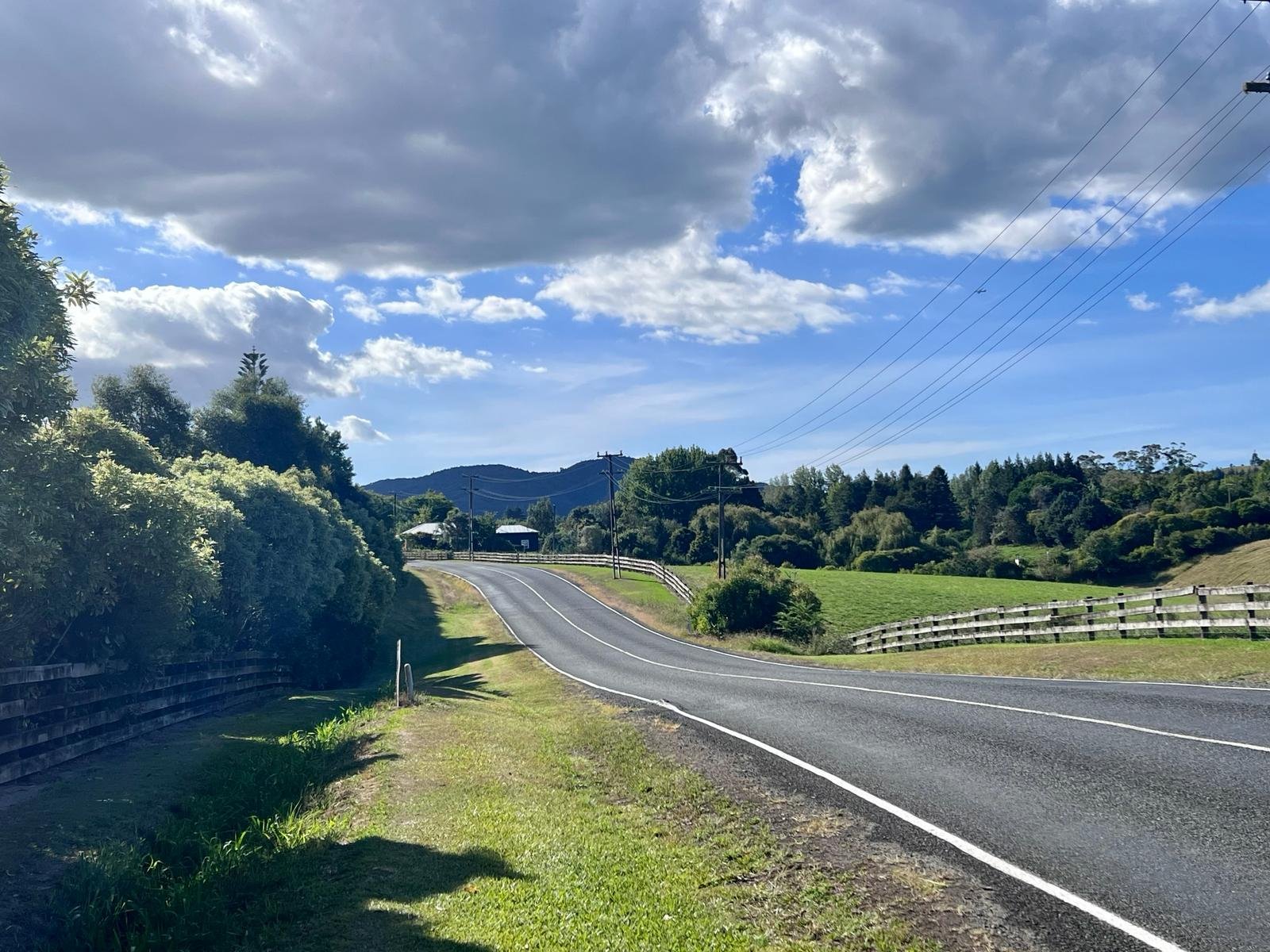
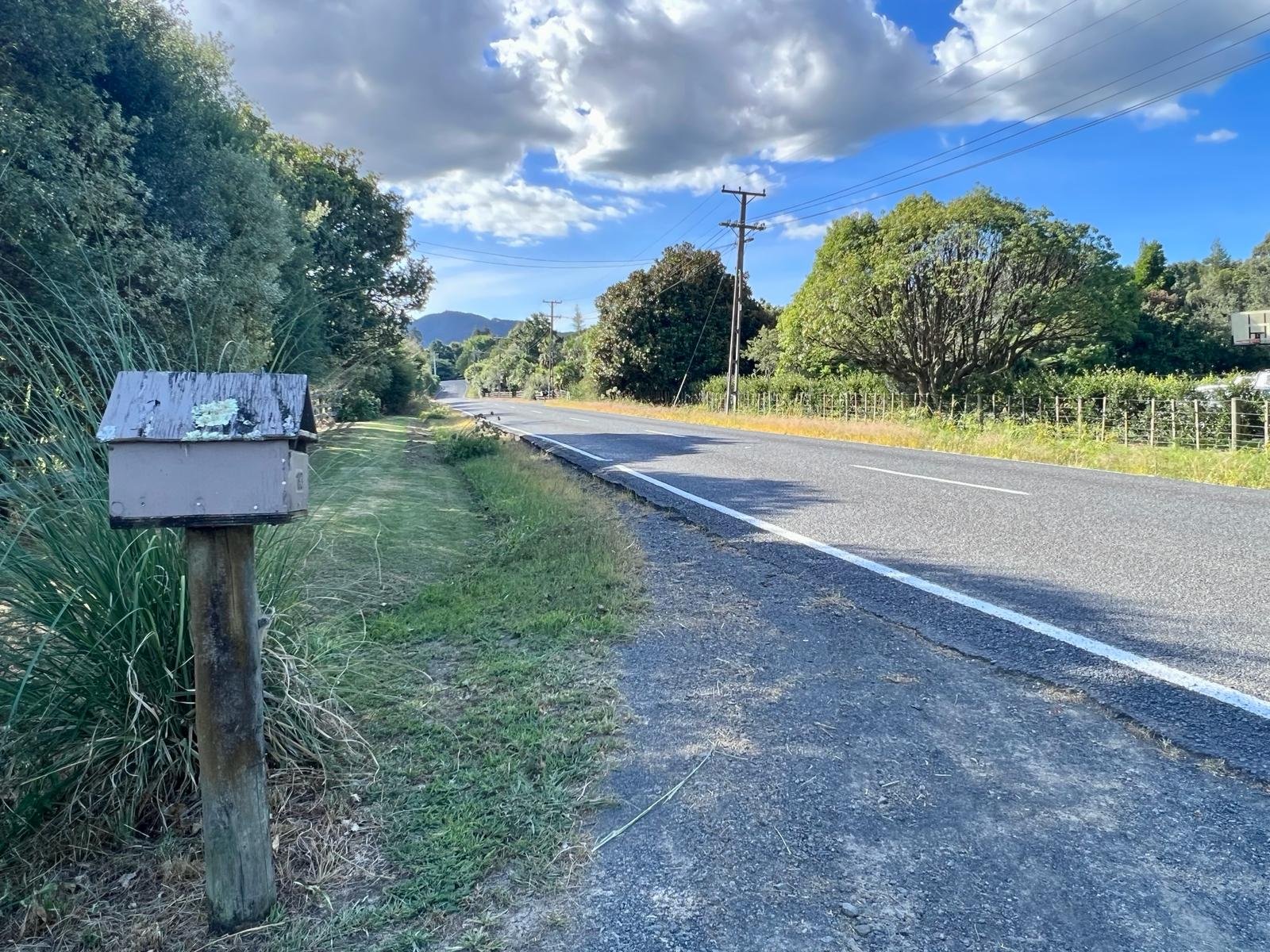
McNicol Road to
Clevedon Village
This 2.8km trail will run along the edge of McNicol Road from the village to Tourist Road.
Here it will link into a trail south of the intersection that Stevensons are required to build as part of their 2018 resource consent to expand the quarry. Users will eventually be able to walk or cycle all the way to the old Te Araroa Trail that connects to Cossey Dam Access Road in Hūnua.